Upper Arlington's Scioto River Paths and Overlooks: A Local's Guide
 Upper Arlington's Scioto River Paths and Overlooks: A Local's Guide
Where to walk, cycle and pause along the Scioto in Upper Arlington, with practical tips on parking, timing and nearby places to stay.
The Riverfront Path: Your Gateway to the Scioto
The Scioto River forms Upper Arlington's eastern border, and the paved path that hugs it is the area's best-kept secret for visitors. Start at the Northam Park trailhead on Northam Road, where parking is free and easy on weekdays. From there, the path runs south past the historic Lane Road Dam and under the Lane Avenue bridge, offering a flat, car-free route that's popular with joggers and cyclists. The surface is smooth asphalt, suitable for strollers and road bikes alike. You can connect to the larger Olentangy Trail network via the Lane Avenue crossing, but be prepared for a brief on-street section.
For a shorter, scenic loop, head north from Northam Park toward the Kingsdale area, where the path skirts the edge of the golf course and offers glimpses of the river through the trees. This stretch is quieter and shaded, making it a good choice on hot summer afternoons. The entire Upper Arlington riverfront path is about 5 kilometres one-way, but you can easily tailor your walk to any distance. Benches are spaced every few hundred metres, and there are water fountains at Northam Park and the Lane Road Dam picnic area. Dogs are welcome on leash, and you'll find waste bags at the main entrances.
Overlooks with a View: Where to Pause and Take It In
The most dramatic river views come from the overlook at the Lane Road Dam, where a wooden platform juts out over the water. It's a favourite spot for photographers at sunset, when the light hits the ripples and the herons come out to fish. The platform is accessible via a short, gentle ramp from the main path, making it suitable for wheelchairs and pushchairs. Another lesser-known viewpoint is at the end of Wickliffe Road, where a small grassy knoll offers a clear sightline upriver toward the O'Shaughnessy Dam. There's no seating there, so bring a blanket if you plan to linger.
If you're after a picnic spot with a view, the grassy area at Northam Park near the river is hard to beat. Tables are first-come, first-served, but turnover is quick at lunchtime. For a more secluded experience, walk south from the Lane Road Dam toward the wetland restoration area, where a series of small wooden bridges cross the backwater. This section is especially beautiful in early autumn, when the maples turn. Just note that the path can be muddy after rain, so waterproof shoes are a good idea. The overlooks are open year-round, but the best months to visit are May, June, September and October, when temperatures are mild and the foliage is at its peak.
Practical Tips: Parking, Timing and What to Bring
Parking is available at Northam Park (off Northam Road) and at the Lane Road Dam lot (off Lane Road). Both are free, but the Northam Park lot fills up on weekend mornings during youth sports events. If you're visiting on a Saturday, arrive before 9 am or use the smaller lot at the end of Wickliffe Road, which rarely fills. The path is open from dawn to dusk, and lighting is limited, so plan to finish before sunset. There are no shops or cafes directly on the path, so bring water and snacks. The nearest convenience store is a five-minute drive away on Lane Avenue.
Bike rentals are not available on-site, but you can rent from several shops in nearby Grandview Heights or on Lane Avenue. If you're bringing your own bike, note that the path is shared with pedestrians, so keep speeds moderate and use a bell. For families, the section between Northam Park and the Lane Road Dam is the most stroller-friendly, with no steep inclines. Public toilets are located at Northam Park and at the Lane Road Dam picnic area, but they are closed in winter. The path is generally well-maintained, but after heavy rain, some sections near the wetland may flood; check the Upper Arlington Parks & Recreation website for closures before you set out.
Where to Stay: Hotels Near the Scioto River Paths
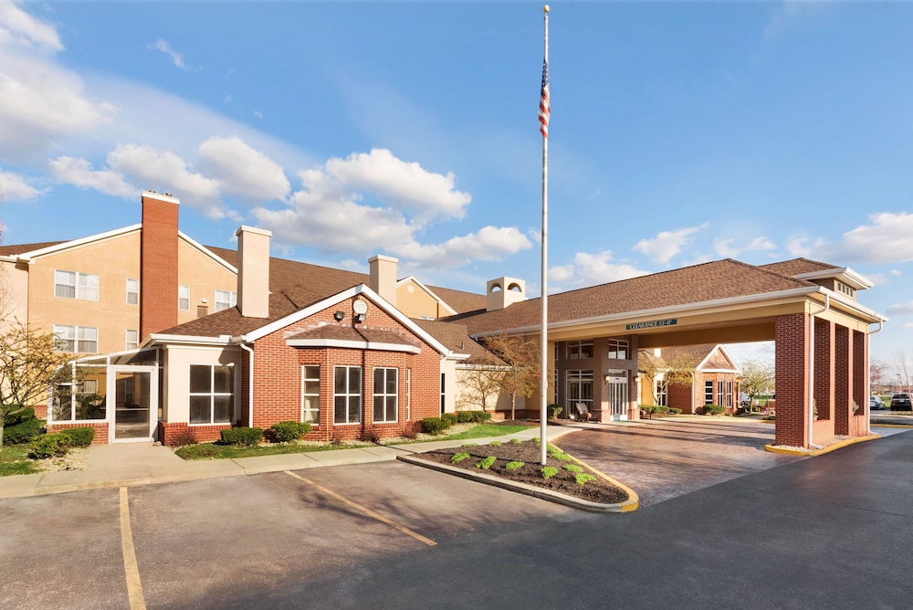
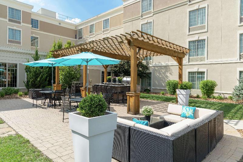
Upper Arlington itself has a limited number of hotels, but several options lie within a 10-minute drive of the riverfront. The closest cluster is along Lane Avenue and Olentangy River Road, where you'll find mid-range chains and independent properties. For easy access to the Northam Park trailhead, look for hotels near the intersection of Lane Avenue and North Star Road. These typically offer free parking and breakfast, which can offset the lack of dining options directly on the path. If you prefer to be within walking distance of the river, consider properties on the eastern edge of Upper Arlington, near the Lane Avenue bridge.
For a wider choice, downtown Columbus is a 15-minute drive via Lane Avenue and SR-315, but you'll pay for parking and deal with traffic. If you're combining river walks with visits to Ohio State University, hotels along Olentangy River Road are convenient and often more affordable on weekends. Book early if you're visiting during OSU home football games, as rates spike and availability dwindles. Based on the area's layout, I'd recommend staying near Lane Avenue for the easiest river access. The best months for a visit are May, June, September and October, when you can comfortably walk or cycle without summer's heat or winter's ice.
Before you book
What people ask before booking Upper Arlington.
Yes, free parking is available at Northam Park (off Northam Road) and at the Lane Road Dam lot (off Lane Road). The Northam Park lot can fill up on weekend mornings during sports events. A smaller lot at the end of Wickliffe Road is a quieter alternative.
Dogs are welcome on the path but must be kept on a leash. Waste bags are provided at the main entrances, including Northam Park and the Lane Road Dam. Please clean up after your pet and be mindful of other users, especially cyclists.
The best months are May, June, September and October, when temperatures are mild and foliage is attractive. Summer afternoons can be hot and humid, while winter brings ice and occasional closures. Spring and autumn offer the most comfortable conditions for walking and cycling.
Bike rentals are not available directly on the path. However, you can rent from shops in nearby Grandview Heights or along Lane Avenue, both within a short drive. Bring your own bike if you prefer, but keep speeds moderate as the path is shared with pedestrians.
Public restrooms are located at Northam Park and at the Lane Road Dam picnic area. Note that these facilities are typically closed during winter months. Plan accordingly, especially if you're visiting with children or elderly companions.
The paved path within Upper Arlington is about 5 kilometres one-way, running from the northern boundary to the southern edge. It connects to the larger Olentangy Trail network, allowing longer rides or walks. The surface is smooth asphalt, suitable for strollers and road bikes.
Upper Arlington has limited hotels, but several mid-range options are along Lane Avenue and Olentangy River Road, within a 10-minute drive of the river. For easier access, look near the Lane Avenue and North Star Road intersection. Downtown Columbus is a 15-minute drive but adds parking costs and traffic.
Yes, the path is paved and mostly flat, making it suitable for wheelchairs and strollers. The overlook at Lane Road Dam has a gentle ramp. Some sections near the wetland may be uneven or muddy after rain, so check conditions beforehand. Northam Park to Lane Road Dam is the most accessible stretch.